Lahore Maps
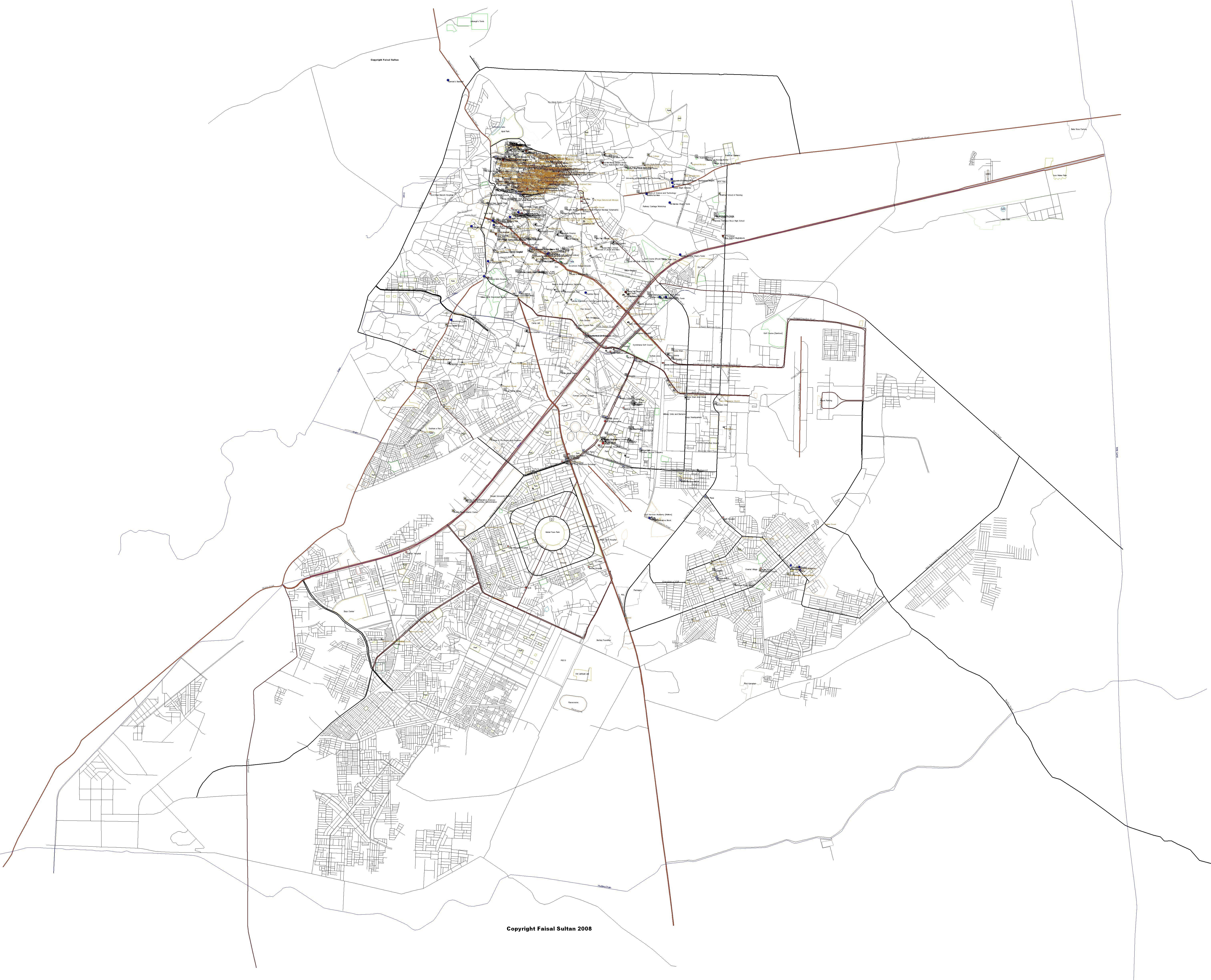
These maps of Lahore were developed using geo-referenced satellite imagery of the city. They cover the area from Band road in the north to Hudiara drain in the south and BRB canal in the east to the Ravi river in the west.
Satellite imagery was used as a base to draw vectors and create maps in Polish format [*.mp] using GPSMapedit [ www.geopainting.com/en ]. These maps were compiled using cGPSmapper [ www.cgpsmapper.com ] to create vector maps which are readable by Garmin GPS receivers [*.img format].
DOWNLOAD
The following versions are available:-
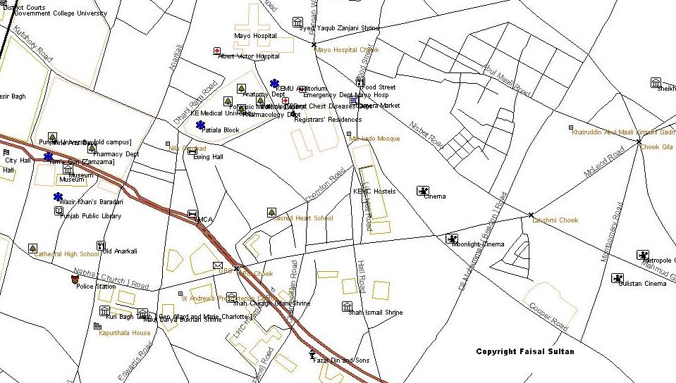
Simple JPEG images*. The image above is a preview of the full map. Click here to download [2.7 mb]. Greater detail is available for the walled city. Email me if you need this.
Vector map [main roads only]* for use in Garmin GPS devices. Click here to download. Size is mb.
Vector map [detailed] for use in Garmin GPS devices. Email me if you need these. Fully routable versions can be created for commercial users.
CONDITIONS OF USE
*These are free for personal use and may NOT be redistributed or sold.
CONTACT
Faisal Sultan, Sultanz Maps, 14 L, DHA, Lahore, Pakistan. Email - faisalsultan@yahoo.com